Facts and figures gives an insight into Namibia, a tourist friendly destination and the 5th largest country in Africa populated by approx. 3 million people.
Namibia safari tours
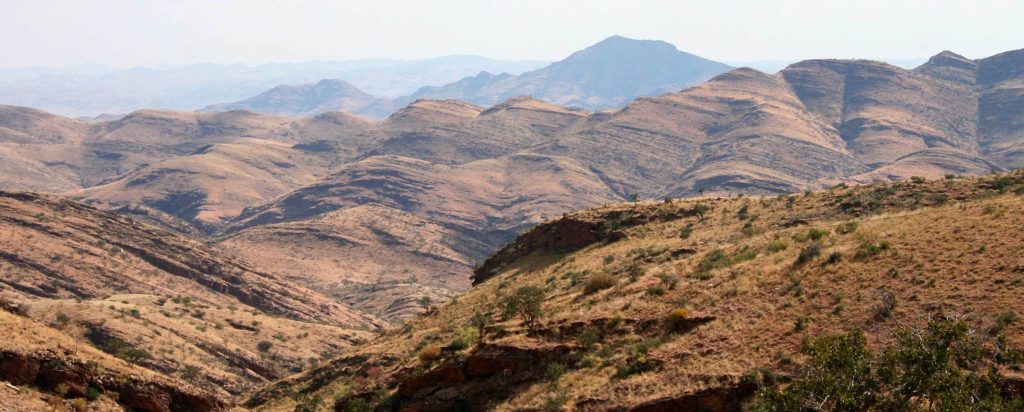
Nmibia lies on the south-western Atlantic Coast of the African sub-continent. The country shares borders with Angola and Zambia in the north, South Africa in the south and Botswana in the east With an estimated population of 3 million Namibia’s population density is one of the lowest in the world Once you get to the top of Dune 7 you enjoy a breathtaking view over the desert and the sea right next to it. Not many places in the world offer this kind of view!
3 MILLION approximate population size
MAIN LANGUAGE English
BEST TIME TO VISIT all year round
Climate Facts
■ an average of 300 days of sunshine a year is enjoyed The climate is typical of a semi-desert country where droughts are a regular occurrence. ■ September to April the day temperatures in the inland vary from approximately 15°C to 35°C, During the winter months: May – August, day temperatures of 7°C to 28°C can be expected throughout. It is the best time to tour but prices also increase ■ At the coast dry, hot east weather may occur at times in the winter months. Rainfall season occurs from October to April Although Namibia is an all-year-round wilderness destination, there are certain seasons such as the months November to March for birding with the migratory birds visiting. ■ December to May is good for botany, when the vegetation is green and when most plants are in flower. ■ There are actually more seals than people in Namibia (almost!) as Namibia is one of the least populated countries in the world (after Mongolia!) ■ One of best ways to experience Africa’s second largest desert is by quad-bike as you feel the cool Atlantic breeze in your hair – so be sure to do the tour
Rivers
Namibia has 5 perennial rivers : the Orange River in the south in the north the Kunene, Okavango, Zambezi and Kwando/Linyanti/Chobe rivers which form the border between eastern Caprivi and Botswana
Seasonal rivers include the Fish & Nossob (tributaris of the Orange).
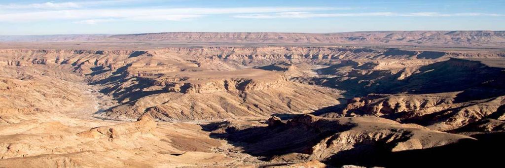
By far the longest river is the Fish River running through the Fish River canyon. Other noteworthy rivers as the Kuiseb, Swakop, Omaruru, Hoarusib, Hoanib, Ugab and Khumib